







Features & Benefits
- Includes all the features of Navionics (R)+ cartography.
- Covers over 42,000 lakes and offers integrated offshore and inland mapping.
- Provides advanced viewing options like relief shading and satellite imagery.
- Features 3D perspective view for better understanding of terrain.
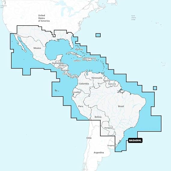
- Covers coastal regions of Mexico, Central America, and South America.
- Perfect for navigation from the US Gulf Coast to the Caribbean Islands.